Landslides endanger roads, railway lines and dams. Inclinometer measuring points provide reliable subsoil deformation data and enable early, comprehensible decisions to be made.
ICP Engineers GmbH - Member of the SIERA Alliance - combines geotechnical and environmental engineering in Rodenbach and its branches in Bitburg and Bad Bergzabern - with 30 employees at 3 locations and approx. 500 projects per year.
ICP Engineers GmbH - Member of the SIERA Alliance - combines geotechnical and environmental engineering in Rodenbach and its branches in Bitburg and Bad Bergzabern - with 30 employees at 3 locations and approx. 500 projects per year.
Why this is important
- Early detection of movements before visible damage
- Quantified shift rates with clear escalation levels
- Identification of active sliding surfaces and sliding depths
- Proof of effectiveness of safety measures
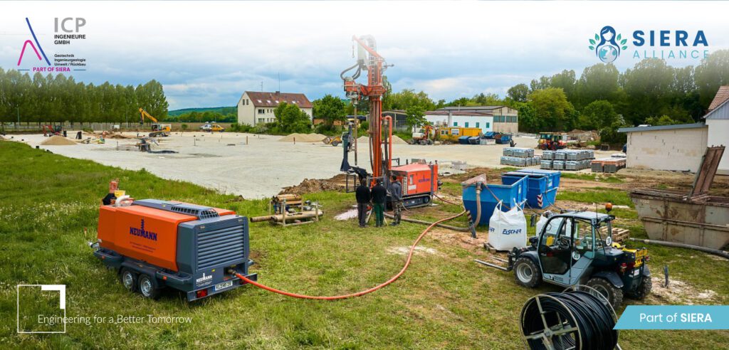
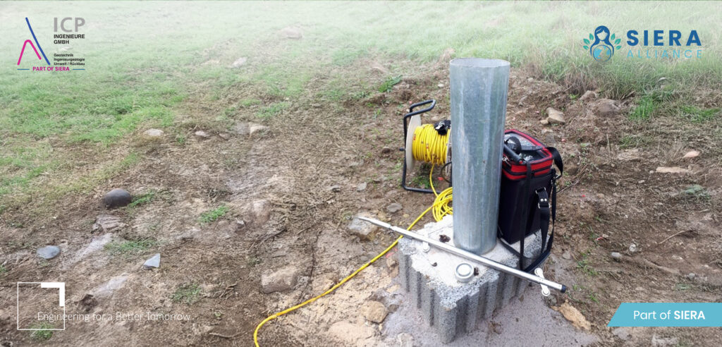
Construction of an inclinometer measuring point
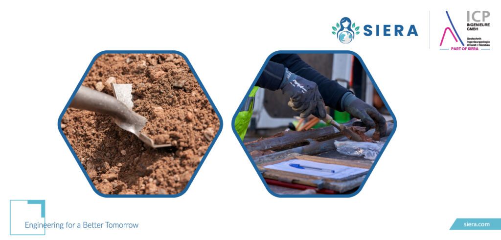
- Drilling & pipework - Drilling Ø ~70-100 mm in stable subsoil or through the assumed sliding joint; installation of grooved PVC/ABS pipes; annular space backfilling (cement/bentonite) for secure positive locking.
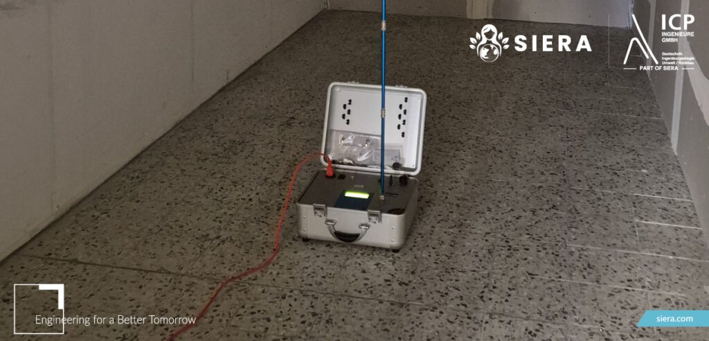
- Probe & Baseline - Biaxial probe; create zero measurement, repeat measurements according to plan → trend analysis.
- Profiles & thresholds - Integrate tendency to shift; link threshold values with measures (measurement rhythm, drainage, traffic control).
Typical fields of application
- Active/potential landslides and embankments
- Deep excavations and shoring
- Dams, dykes, dam bodies
- Long-term monitoring of refurbishments
Integrated monitoring for an overall view
Inclinometer plus Piezometer, Extensometer and surface surveys increase informative value and forecasting capability. ICP's broad range of services - from geotechnics to contaminated sites and environmental planning - facilitates approvals and reduces project risks.Implementation: Checklist for operators & planners
- Define risk scenarios, acceptance criteria and response thresholds
- Set drilling points so that suspected shear zones are intersected
- Adapt measuring tube alignment, depth and backfilling to the layer sequence
- Reliable baselines; plan measurement rhythm (e.g. weekly → monthly)
- Shifts correlate with precipitation/groundwater
- QA/QC: Calibration, repeat measurements, independent testing